
Kirkpatrick topographic map
Interactive map
Click on the map to display elevation.
About this map
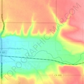
Name: Kirkpatrick topographic map, elevation, terrain.
Location: Kirkpatrick, Umatilla County, Oregon, USA (45.66606 -118.68472 45.69025 -118.62031)
Average elevation: 421 m
Minimum elevation: 369 m
Maximum elevation: 467 m