
Thank you for supporting this site ❤️
Make a donation
Make a donation
Dixie topographic map
Click on the map to display elevation.
Thank you for supporting this site ❤️
Make a donation
Make a donation
About this map
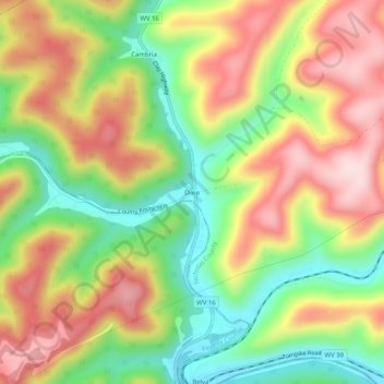
Name: Dixie topographic map, elevation, terrain.
Location: Dixie, Nicholas County, West Virginia, 25059, United States (38.23094 -81.21316 38.27094 -81.17316)
Average elevation: 366 m
Minimum elevation: 197 m
Maximum elevation: 542 m
Thank you for supporting this site ❤️
Make a donation
Make a donation
Other topographic maps
Click on a map to view its topography, its elevation and its terrain.