
Thank you for supporting this site ❤️
Make a donation
Make a donation
Lika topographic map
Click on the map to display elevation.
Thank you for supporting this site ❤️
Make a donation
Make a donation
About this map
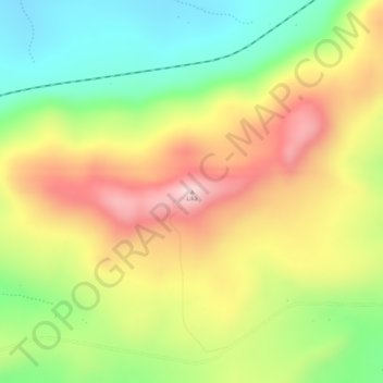
Name: Lika topographic map, elevation, terrain.
Location: Lika, Serenje District, Central Province, Zambia (-13.24851 30.19106 -13.24841 30.19116)
Average elevation: 1,499 m
Minimum elevation: 1,350 m
Maximum elevation: 1,645 m
Thank you for supporting this site ❤️
Make a donation
Make a donation
Other topographic maps
Click on a map to view its topography, its elevation and its terrain.