
Tagbina topographic map
Click on the map to display elevation.
About this map
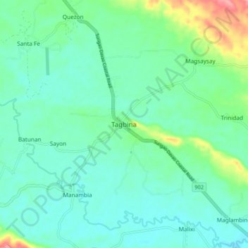
Name: Tagbina topographic map, elevation, terrain.
Location: Tagbina, Surigao del Sur, Caraga, Philippines (8.41736 126.11907 8.49736 126.19907)
Average elevation: 34 m
Minimum elevation: 9 m
Maximum elevation: 121 m
Other topographic maps
Click on a map to view its topography, its elevation and its terrain.