
Mitimiti topographic map
Interactive map
Click on the map to display elevation.
About this map
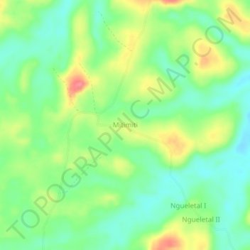
Name: Mitimiti topographic map, elevation, terrain.
Location: Mitimiti, Kwilu, Democratic Republic of the Congo (-3.95317 19.17530 -3.91317 19.21530)
Average elevation: 371 m
Minimum elevation: 341 m
Maximum elevation: 418 m