
Codon topographic map
Click on the map to display elevation.
About this map
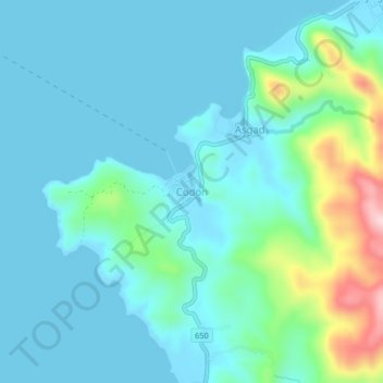
Name: Codon topographic map, elevation, terrain.
Location: Codon, San Andres, Catanduanes, Bicol Region, Philippines (13.64308 124.01981 13.68308 124.05981)
Average elevation: 45 m
Minimum elevation: -3 m
Maximum elevation: 261 m