
Ness Ziona topographic map
Interactive map
Click on the map to display elevation.
About this map
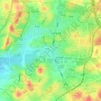
Name: Ness Ziona topographic map, elevation, terrain.
Location: Ness Ziona, Rehovot Subdistrict, Center District, Israel (31.90448 34.77324 31.94194 34.81462)
Average elevation: 43 m
Minimum elevation: 17 m
Maximum elevation: 72 m
Other topographic maps
Click on a map to view its topography, its elevation and its terrain.