
Thank you for supporting this site ❤️
Make a donation
Make a donation
Lamb Holm topographic map
Click on the map to display elevation.
Thank you for supporting this site ❤️
Make a donation
Make a donation
About this map
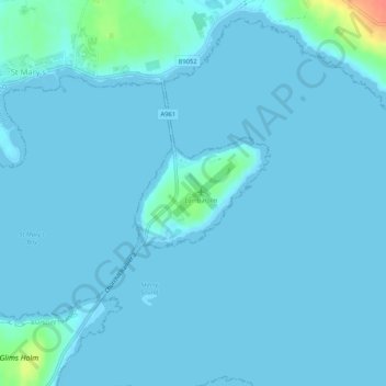
Name: Lamb Holm topographic map, elevation, terrain.
Location: Lamb Holm, Orkney Islands, Scotland, KW17 2SF, United Kingdom (58.88408 -2.90089 58.89102 -2.88369)
Average elevation: 3 m
Minimum elevation: 0 m
Maximum elevation: 46 m
Thank you for supporting this site ❤️
Make a donation
Make a donation
Other topographic maps
Click on a map to view its topography, its elevation and its terrain.