
Bree topographic map
Interactive map
Click on the map to display elevation.
About this map
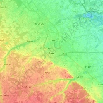
Name: Bree topographic map, elevation, terrain.
Location: Bree, Maaseik, Limburg, Flanders, 3960, Belgium (51.10252 5.54645 51.18470 5.71848)
Average elevation: 49 m
Minimum elevation: 25 m
Maximum elevation: 77 m