
Sungai Rakit topographic map
Click on the map to display elevation.
About this map
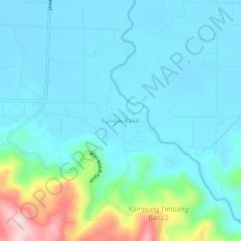
Name: Sungai Rakit topographic map, elevation, terrain.
Location: Sungai Rakit, Kota Marudu, Kudat Division, Sabah, Malaysia (6.43441 116.78121 6.47441 116.82121)
Average elevation: 59 m
Minimum elevation: 9 m
Maximum elevation: 288 m