
Thank you for supporting this site ❤️
Make a donation
Make a donation
Shark Island topographic map
Click on the map to display elevation.
Thank you for supporting this site ❤️
Make a donation
Make a donation
About this map
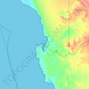
Name: Shark Island topographic map, elevation, terrain.
Location: Shark Island, Lüderitz, Karas, 23016, Namibia (-26.95694 14.83258 -26.31694 15.47258)
Average elevation: 144 m
Minimum elevation: -1 m
Maximum elevation: 933 m
Thank you for supporting this site ❤️
Make a donation
Make a donation