
Thank you for supporting this site ❤️
Make a donation
Make a donation
Bentley topographic map
Click on the map to display elevation.
Thank you for supporting this site ❤️
Make a donation
Make a donation
About this map
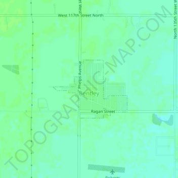
Name: Bentley topographic map, elevation, terrain.
Location: Bentley, Sedgwick County, Kansas, United States (37.88231 -97.52400 37.89115 -97.50966)
Average elevation: 424 m
Minimum elevation: 419 m
Maximum elevation: 427 m
Thank you for supporting this site ❤️
Make a donation
Make a donation
Other topographic maps
Click on a map to view its topography, its elevation and its terrain.