
Lawaan I topographic map
Interactive map
Click on the map to display elevation.
About this map
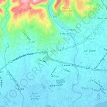
Name: Lawaan I topographic map, elevation, terrain.
Location: Lawaan I, Cebu, Central Visayas, 6045, Philippines (10.23793 123.80665 10.27793 123.84665)
Average elevation: 36 m
Minimum elevation: -1 m
Maximum elevation: 207 m
Other topographic maps
Click on a map to view its topography, its elevation and its terrain.