Arno topographic map
Interactive map
Click on the map to display elevation.
About this map
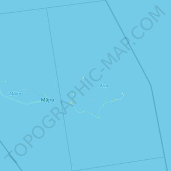
Name: Arno topographic map, elevation, terrain.
Location: Arno, Marshall Islands (6.57425 171.37290 7.79930 172.22715)
Average elevation: 0 m
Minimum elevation: 0 m
Maximum elevation: 23 m
Other topographic maps
Click on a map to view its topography, its elevation and its terrain.
Majuro
At the western end of the atoll, about 50 kilometres (30 mi) from Delap-Uliga-Djarrit (DUD) by road, is the island community of Laura, an expanding residential area with a popular beach. Laura has the highest elevation point on the atoll, estimated at less than 3 metres (10 feet) above sea level. Djarrit is…
Average elevation: 0 m
Bikini Atoll
There are 23 islands in the Bikini Atoll; the islands of Bokonijien, Aerokojlol, and Namu were vaporized during the nuclear tests. The islands are composed of low coral limestone and sand. The average elevation is only about 7 feet (2.1 m) above low tide level. The total lagoon area is 229.4-square-mile (594.1…
Average elevation: 0 m