
Runciman topographic map
Click on the map to display elevation.
About this map
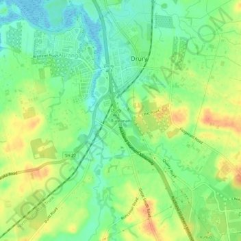
Name: Runciman topographic map, elevation, terrain.
Location: Runciman, Franklin, Auckland, 2578, New Zealand (-37.13242 174.92798 -37.09242 174.96798)
Average elevation: 20 m
Minimum elevation: 0 m
Maximum elevation: 43 m
Auckland trails, hiking, mountain biking, running and outdoor activities