
McArthur Peak topographic map
Interactive map
Click on the map to display elevation.
About this map
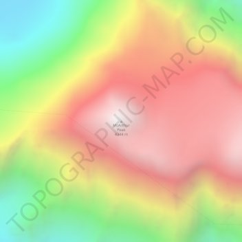
Name: McArthur Peak topographic map, elevation, terrain.
Location: McArthur Peak, Yukon, Canada (60.60634 -140.21366 60.60644 -140.21356)
Average elevation: 3,518 m
Minimum elevation: 2,532 m
Maximum elevation: 4,344 m
Other topographic maps
Click on a map to view its topography, its elevation and its terrain.