
Thank you for supporting this site ❤️
Make a donation
Make a donation
Covington topographic map
Click on the map to display elevation.
Thank you for supporting this site ❤️
Make a donation
Make a donation
About this map
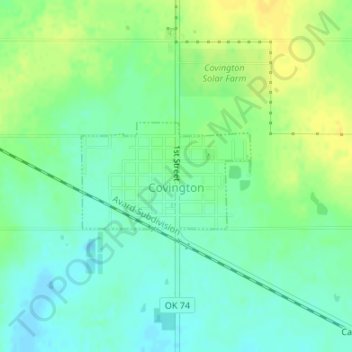
Name: Covington topographic map, elevation, terrain.
Location: Covington, Garfield County, Oklahoma, 73730, United States (36.30375 -97.59548 36.31194 -97.57930)
Average elevation: 352 m
Minimum elevation: 342 m
Maximum elevation: 364 m
Thank you for supporting this site ❤️
Make a donation
Make a donation
Other topographic maps
Click on a map to view its topography, its elevation and its terrain.