
Cuentepec topographic map
Interactive map
Click on the map to display elevation.
About this map
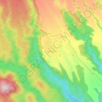
Name: Cuentepec topographic map, elevation, terrain.
Location: Cuentepec, Temixco, Morelos, México (18.84096 -99.34582 18.88096 -99.30582)
Average elevation: 1,446 m
Minimum elevation: 1,224 m
Maximum elevation: 1,673 m
Other topographic maps
Click on a map to view its topography, its elevation and its terrain.