
Thank you for supporting this site ❤️
Make a donation
Make a donation
Lucerne topographic map
Click on the map to display elevation.
Thank you for supporting this site ❤️
Make a donation
Make a donation
About this map
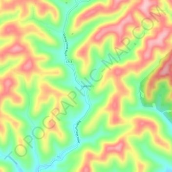
Name: Lucerne topographic map, elevation, terrain.
Location: Lucerne, Gilmer County, West Virginia, 26342, United States (38.97870 -80.90011 39.01870 -80.86011)
Average elevation: 309 m
Minimum elevation: 221 m
Maximum elevation: 396 m
Thank you for supporting this site ❤️
Make a donation
Make a donation
Other topographic maps
Click on a map to view its topography, its elevation and its terrain.