
Bethlehem topographic map
Interactive map
Click on the map to display elevation.
About this map
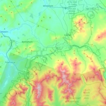
Name: Bethlehem topographic map, elevation, terrain.
Location: Bethlehem, Grafton County, New Hampshire, 03574, USA (44.16640 -71.79421 44.33649 -71.41285)
Average elevation: 605 m
Minimum elevation: 231 m
Maximum elevation: 1,572 m