
Pedro Sanchez topographic map
Interactive map
Click on the map to display elevation.
About this map
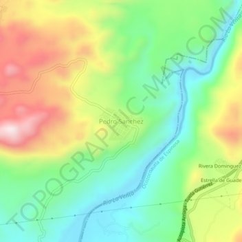
Name: Pedro Sanchez topographic map, elevation, terrain.
Location: Pedro Sanchez, Jiquipilas, Chiapas, México (16.69811 -93.57255 16.73811 -93.53255)
Average elevation: 691 m
Minimum elevation: 475 m
Maximum elevation: 1,030 m