
Thank you for supporting this site ❤️
Make a donation
Make a donation
Reynolds topographic map
Click on the map to display elevation.
Thank you for supporting this site ❤️
Make a donation
Make a donation
About this map
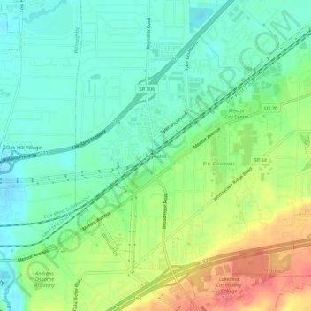
Name: Reynolds topographic map, elevation, terrain.
Location: Reynolds, Mentor, Lake County, Ohio, 44094, United States (41.63588 -81.39705 41.67588 -81.35705)
Average elevation: 205 m
Minimum elevation: 182 m
Maximum elevation: 246 m
Thank you for supporting this site ❤️
Make a donation
Make a donation