
Make a donation
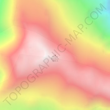
Mount Blackburn topographic map
Click on the map to display elevation.
Make a donation
Mount Blackburn
Mount Blackburn is a large, dramatic peak, with great local relief and independence from higher peaks. Its west face drops over 11,000 ft (3,350 m) to the Kuskulana Glacier in less than 4 horizontal miles (6.4 km). Its other faces drop 8,000–10,000 ft (2,440–3,050 m), all in less than 8 miles (13 km). The toe of the Kuskulana Glacier, less than 12 miles (19 km) from the summit, lies at an elevation of 2,400 ft (730 m), giving a rise of 14,000 ft (4,270 m). While these figures speak to the peak's relief, one measure of its independence is that it is the 50th-most topographically prominent peak in the world.
Make a donation
About this map
Name: Mount Blackburn topographic map, elevation, terrain.
Average elevation: 4,530 m
Minimum elevation: 3,648 m
Maximum elevation: 5,000 m
Make a donation
Other topographic maps
Click on a map to view its topography, its elevation and its terrain.