
Banaba Island topographic map
Interactive map
Click on the map to display elevation.
About this map
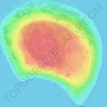
Name: Banaba Island topographic map, elevation, terrain.
Location: Banaba Island, Banaba, Kiribati (-0.87254 169.52162 -0.84459 169.54885)
Average elevation: 30 m
Minimum elevation: 0 m
Maximum elevation: 79 m