
Thank you for supporting this site ❤️
Make a donation
Make a donation
Trout Lake topographic map
Click on the map to display elevation.
Thank you for supporting this site ❤️
Make a donation
Make a donation
About this map
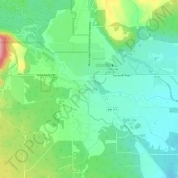
Name: Trout Lake topographic map, elevation, terrain.
Location: Trout Lake, Klickitat County, Washington, United States (45.97700 -121.54887 46.01700 -121.50887)
Average elevation: 589 m
Minimum elevation: 545 m
Maximum elevation: 690 m
Thank you for supporting this site ❤️
Make a donation
Make a donation