
Вогањ topographic map
Interactive map
Click on the map to display elevation.
About this map
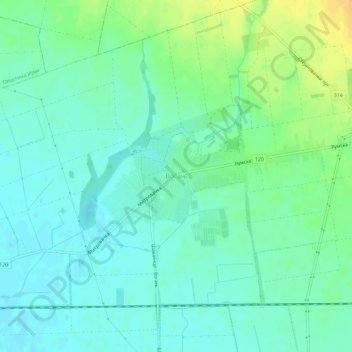
Name: Вогањ topographic map, elevation, terrain.
Location: Вогањ, Општина Рума, Сремски управни округ, Voïvodine, Serbie (44.98361 19.73497 45.02361 19.77497)
Average elevation: 99 m
Minimum elevation: 89 m
Maximum elevation: 119 m