
Caltignaga topographic map
Interactive map
Click on the map to display elevation.
About this map
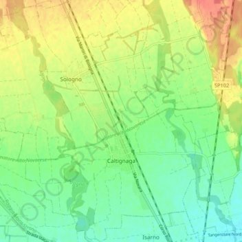
Name: Caltignaga topographic map, elevation, terrain.
Location: Caltignaga, NO, Piemont, 28021, Italy (45.49780 8.54120 45.55477 8.61622)
Average elevation: 183 m
Minimum elevation: 161 m
Maximum elevation: 213 m