
Thank you for supporting this site ❤️
Make a donation
Make a donation
Big Meadows topographic map
Click on the map to display elevation.
Thank you for supporting this site ❤️
Make a donation
Make a donation
About this map
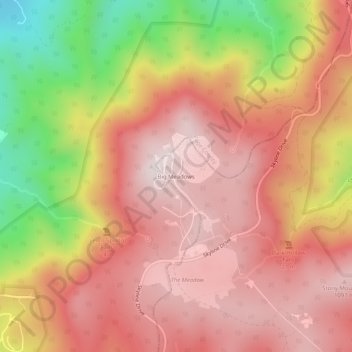
Name: Big Meadows topographic map, elevation, terrain.
Location: Big Meadows, Madison County, Virginia, United States (38.50651 -78.45973 38.54651 -78.41973)
Average elevation: 868 m
Minimum elevation: 419 m
Maximum elevation: 1,125 m
Thank you for supporting this site ❤️
Make a donation
Make a donation