
Thank you for supporting this site ❤️
Make a donation
Make a donation
Churchill Township topographic map
Click on the map to display elevation.
Thank you for supporting this site ❤️
Make a donation
Make a donation
About this map
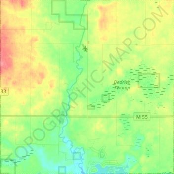
Name: Churchill Township topographic map, elevation, terrain.
Location: Churchill Township, Ogemaw County, Michigan, United States (44.24795 -84.12566 44.33488 -84.00443)
Average elevation: 265 m
Minimum elevation: 235 m
Maximum elevation: 309 m
Thank you for supporting this site ❤️
Make a donation
Make a donation