
Río Tamazula topographic map
Interactive map
Click on the map to display elevation.
About this map
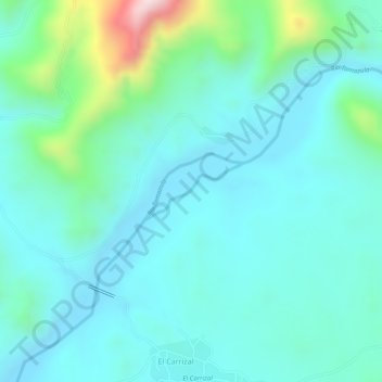
Name: Río Tamazula topographic map, elevation, terrain.
Location: Río Tamazula, El Carrizal, Tamazula, Durango, México (24.98778 -106.93372 24.99182 -106.92604)
Average elevation: 319 m
Minimum elevation: 247 m
Maximum elevation: 595 m