
Port Charlotte topographic map
Interactive map
Click on the map to display elevation.
About this map
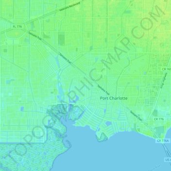
Name: Port Charlotte topographic map, elevation, terrain.
Location: Port Charlotte, Charlotte County, Florida, United States (26.94693 -82.15629 27.01802 -82.05760)
Average elevation: 4 m
Minimum elevation: -2 m
Maximum elevation: 10 m