
Najafgarh topographic map
Interactive map
Click on the map to display elevation.
About this map
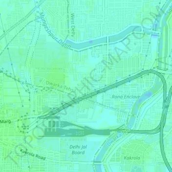
Name: Najafgarh topographic map, elevation, terrain.
Location: Sai Dham, Najafgarh, South West Delhi, Delhi, India (28.61675 77.00681 28.61966 77.00863)
Average elevation: 214 m
Minimum elevation: 210 m
Maximum elevation: 217 m
Other topographic maps
Click on a map to view its topography, its elevation and its terrain.
Delhi
India > Delhi > Kotwali Tehsil
Delhi, Kotwali Tehsil, Central Delhi, Delhi, 110006, India
Average elevation: 216 m
Yamuna River
Yamuna River, Doctor KB Hedgewar Marg, Kashmiri Gate, Majnu Ka Tila, Delhi, Central Delhi, Delhi, 110054, India
Average elevation: 212 m