
Thank you for supporting this site ❤️
Make a donation
Make a donation
Markesan topographic map
Click on the map to display elevation.
Thank you for supporting this site ❤️
Make a donation
Make a donation
About this map
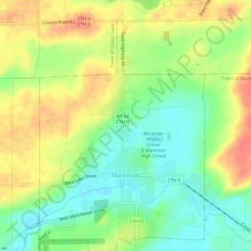
Name: Markesan topographic map, elevation, terrain.
Location: Markesan, Green Lake County, Wisconsin, United States (43.69721 -89.00593 43.73050 -88.97533)
Average elevation: 282 m
Minimum elevation: 256 m
Maximum elevation: 311 m
Thank you for supporting this site ❤️
Make a donation
Make a donation
Other topographic maps
Click on a map to view its topography, its elevation and its terrain.
Thank you for supporting this site ❤️
Make a donation
Make a donation
Thank you for supporting this site ❤️
Make a donation
Make a donation