
Lugbleh topographic map
Interactive map
Click on the map to display elevation.
About this map
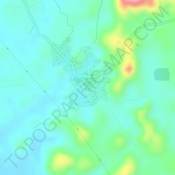
Name: Lugbleh topographic map, elevation, terrain.
Location: Lugbleh, Yarmein, Nimba County, Liberia (7.60610 -8.62391 7.61175 -8.61756)
Average elevation: 471 m
Minimum elevation: 438 m
Maximum elevation: 571 m