
Hoffman Cay topographic map
Interactive map
Click on the map to display elevation.
About this map
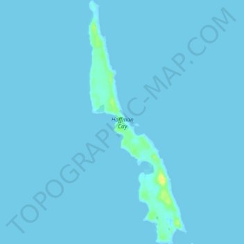
Name: Hoffman Cay topographic map, elevation, terrain.
Location: Hoffman Cay, Berry Islands, The Bahamas (25.61506 -77.75099 25.65483 -77.73316)
Average elevation: 1 m
Minimum elevation: 0 m
Maximum elevation: 21 m
Other topographic maps
Click on a map to view its topography, its elevation and its terrain.