
Les Carnieres topographic map
Interactive map
Click on the map to display elevation.
About this map
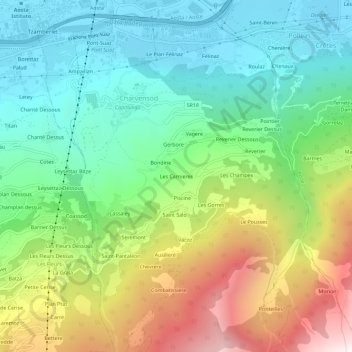
Name: Les Carnieres topographic map, elevation, terrain.
Location: Les Carnieres, Charvensod, Valle d'Aosta, 11100, Italië (45.69197 7.31222 45.73197 7.35222)
Average elevation: 1,165 m
Minimum elevation: 544 m
Maximum elevation: 2,354 m