
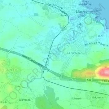
Río Carrocedo topographic map
Interactive map
Click on the map to display elevation.
About this map
Name: Río Carrocedo topographic map, elevation, terrain.
Location: Río Carrocedo, Parres, Llanes, Asturias, 33500, Spain (43.40126 -4.77160 43.41961 -4.75418)
Average elevation: 34 m
Minimum elevation: -1 m
Maximum elevation: 164 m