
Thank you for supporting this site ❤️
Make a donation
Make a donation
Smalriem topographic map
Click on the map to display elevation.
Thank you for supporting this site ❤️
Make a donation
Make a donation
About this map
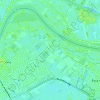
Name: Smalriem topographic map, elevation, terrain.
Location: Smalriem, Culemborg, Gelderland, Nederland, 4102 NS, Nederland (51.94215 5.23639 51.98215 5.27639)
Average elevation: 4 m
Minimum elevation: -5 m
Maximum elevation: 10 m
Thank you for supporting this site ❤️
Make a donation
Make a donation
Other topographic maps
Click on a map to view its topography, its elevation and its terrain.