
Mount Iron topographic map
Click on the map to display elevation.
About this map
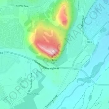
Name: Mount Iron topographic map, elevation, terrain.
Average elevation: 338 m
Minimum elevation: 285 m
Maximum elevation: 542 m
Queenstown-Lakes District trails, hiking, mountain biking, running and outdoor activities