
Thank you for supporting this site ❤️
Make a donation
Make a donation
Jonesport topographic map
Click on the map to display elevation.
Thank you for supporting this site ❤️
Make a donation
Make a donation
About this map
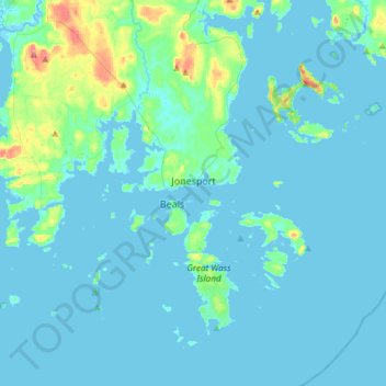
Name: Jonesport topographic map, elevation, terrain.
Location: Jonesport, Washington County, Maine, 04649, United States (44.41962 -67.64732 44.63218 -67.38879)
Average elevation: 7 m
Minimum elevation: -3 m
Maximum elevation: 68 m
Thank you for supporting this site ❤️
Make a donation
Make a donation
Other topographic maps
Click on a map to view its topography, its elevation and its terrain.