
L'Oteru topographic map
Interactive map
Click on the map to display elevation.
About this map
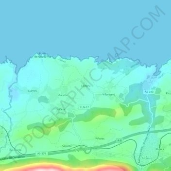
Name: L'Oteru topographic map, elevation, terrain.
Location: L'Oteru, Llanes, Asturias, 33591, España (43.43456 -4.97932 43.47456 -4.93932)
Average elevation: 37 m
Minimum elevation: -3 m
Maximum elevation: 261 m
Other topographic maps
Click on a map to view its topography, its elevation and its terrain.