
Dana Point topographic map
Interactive map
Click on the map to display elevation.
About this map
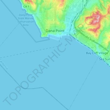
Name: Dana Point topographic map, elevation, terrain.
Location: Dana Point, Orange County, California, USA (33.38980 -117.76756 33.49824 -117.64457)
Average elevation: 22 m
Minimum elevation: -1 m
Maximum elevation: 264 m