
Thank you for supporting this site ❤️
Make a donation
Make a donation
A Meda topographic map
Click on the map to display elevation.
Thank you for supporting this site ❤️
Make a donation
Make a donation
About this map
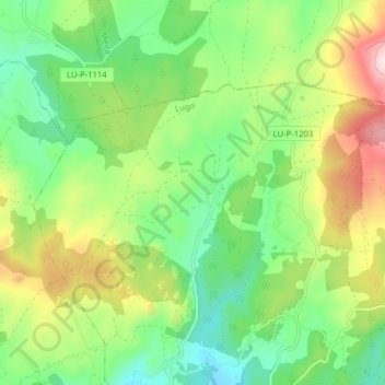
Name: A Meda topographic map, elevation, terrain.
Location: A Meda, Castroverde, Lugo, Galicia, España (43.04378 -7.43813 43.07691 -7.35946)
Average elevation: 611 m
Minimum elevation: 479 m
Maximum elevation: 842 m
Thank you for supporting this site ❤️
Make a donation
Make a donation
Other topographic maps
Click on a map to view its topography, its elevation and its terrain.