
Thank you for supporting this site ❤️
Make a donation
Make a donation
Carseland topographic map
Click on the map to display elevation.
Thank you for supporting this site ❤️
Make a donation
Make a donation
About this map
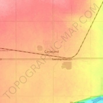
Name: Carseland topographic map, elevation, terrain.
Location: Carseland, Division No. 5, Alberta, T0J 0M0, Canada (50.83167 -113.48843 50.87167 -113.44843)
Average elevation: 965 m
Minimum elevation: 904 m
Maximum elevation: 986 m
Thank you for supporting this site ❤️
Make a donation
Make a donation
Other topographic maps
Click on a map to view its topography, its elevation and its terrain.