
Thank you for supporting this site ❤️
Make a donation
Make a donation
Lynwood topographic map
Click on the map to display elevation.
Thank you for supporting this site ❤️
Make a donation
Make a donation
About this map
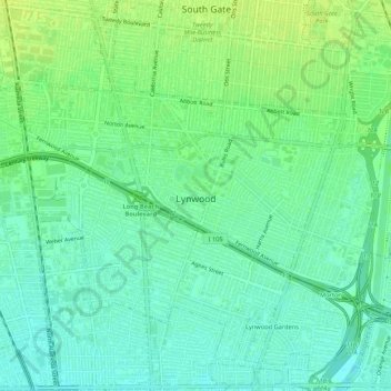
Name: Lynwood topographic map, elevation, terrain.
Location: Lynwood, Los Angeles County, California, United States (33.90512 -118.23027 33.94544 -118.17687)
Average elevation: 28 m
Minimum elevation: 20 m
Maximum elevation: 37 m
Thank you for supporting this site ❤️
Make a donation
Make a donation
Other topographic maps
Click on a map to view its topography, its elevation and its terrain.