
Chilmark topographic map
Interactive map
Click on the map to display elevation.
About this map
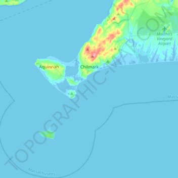
Name: Chilmark topographic map, elevation, terrain.
Location: Chilmark, Dukes County, Massachusetts, 02552, USA (41.19889 -70.89942 41.42907 -70.64723)
Average elevation: 4 m
Minimum elevation: -14 m
Maximum elevation: 85 m