
Cielo topographic map
Interactive map
Click on the map to display elevation.
About this map
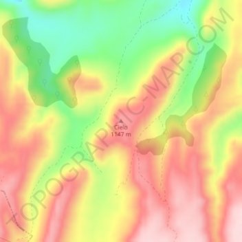
Name: Cielo topographic map, elevation, terrain.
Location: Cielo, Molinos, Maestrazgo, Teruel, Aragón, España (40.78733 -0.48003 40.78743 -0.47993)
Average elevation: 1,066 m
Minimum elevation: 926 m
Maximum elevation: 1,174 m