
Thank you for supporting this site ❤️
Make a donation
Make a donation
Oreti Community topographic map
Click on the map to display elevation.
Thank you for supporting this site ❤️
Make a donation
Make a donation
About this map
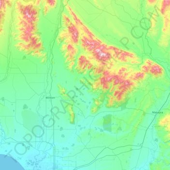
Name: Oreti Community topographic map, elevation, terrain.
Average elevation: 139 m
Minimum elevation: 0 m
Maximum elevation: 736 m
New Zealand trails, hiking, mountain biking, running and outdoor activities
Thank you for supporting this site ❤️
Make a donation
Make a donation