
Brædstrup topographic map
Interactive map
Click on the map to display elevation.
About this map
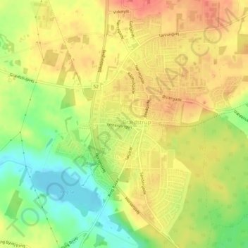
Name: Brædstrup topographic map, elevation, terrain.
Location: Brædstrup, Horsens Municipality, 8740, Denmark (55.96003 9.59414 55.98399 9.63051)
Average elevation: 108 m
Minimum elevation: 77 m
Maximum elevation: 130 m