
Greendale topographic map
Interactive map
Click on the map to display elevation.
About this map
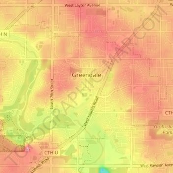
Name: Greendale topographic map, elevation, terrain.
Location: Greendale, Milwaukee County, Wisconsin, 53129, United States (42.91974 -88.03012 42.95506 -87.96657)
Average elevation: 232 m
Minimum elevation: 162 m
Maximum elevation: 268 m